|
|
University | Search | News | A-Z Index | Contact Us |
|
|
|
||
|
|
Dynamics of the Mesosphere & Lower Thermosphere |
|
|
|
||

|
Dynamics of the Mesosphere & Lower Thermosphere |
|
|
Telecommunications, Space & Radio Group |
|
|
|
|
|
The |
|
|
|
|
|
|


Honorary research fellow:
|
|
|

People who have recently
worked in the group include:
|
|
(PhD, 2003) |
|
(PhD, 2000) |


1.
Scientific Background
The Mesosphere and Lower Thermosphere (MLT)
region is that part of the Earth’s atmosphere at heights between ~ 50
– 110 km. It includes the mesopause, at heights near 85 km or 100 km,
which is the coldest naturally occurring place on Earth. The MLT region is
believed to play a key role in the coupling between the lower, middle and upper
atmosphere.
The dynamics of the MLT region are dominated by
atmospheric waves and tides of large amplitude, mostly originating in the lower
atmosphere. As the waves and tides
ascend into the rarified MLT region they grow in amplitude and eventually may
become unstable - dissipating their energy and momentum rather like ocean waves
breaking on a beach. Thermal tides and planetary waves thus combine with
gravity waves to provide up to 70% of the MLT region’s energy and
momentum budget. This wave driving (forcing) pushes the temperature and
planetary-scale circulation of the MLT region into states very different from
those predicted by a simple radiative
equilibrium model. Physical processes acting in the MLT then filter the field
of ascending waves and tides and so control the dynamic coupling of the middle
atmosphere to the upper atmosphere.
The Bath Group is involved in studies of the
winds, waves and tides of the MLT region in the very different physical regimes
encountered at Polar, middle and equatorial latitudes. Our goal is to
understand the physical processes that control the waves and tides in the MLT
region, and to understand the role these phenomena play in coupling the lower,
middle and upper atmosphere.
2.
Experimental Work – A Global Array of VHF Meteor Radars
The group carries out active
experimental studies of the MLT region. Ground-based VHF meteor radars
are used to study the dynamics of the atmosphere in key latitudinal regimes
– ranging from the
The locations of the radars are given in the figure
and table below:
|
|
|


Latitude
|
Location |
Operational Date |
Notes |
|
1. |
|
August 1999 |
|
|
2.
Middle latitude |
Castle |
January 1988 |
PPARC-funded
collaboration |
|
3.
Equatorial |
|
May 2001 |
PPARC-funded Skiymet |
|
4.
Middle latitude |
|
In deployment |
PPARC-funded Skiymet |
|
5.
Antarctic |
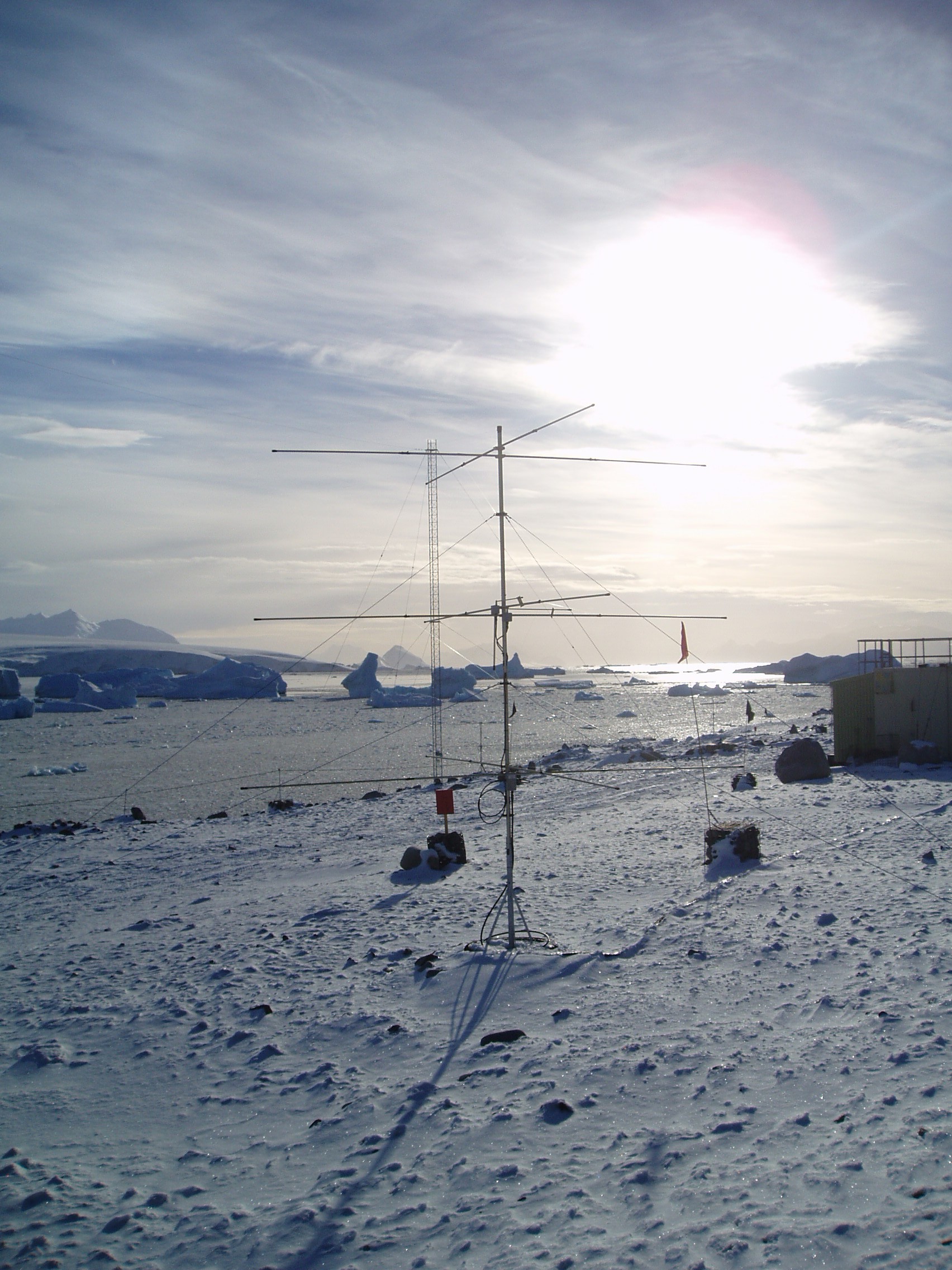
Rothera, 68°S, 68°W |
February 2005 |
NERC-funded Skiymet |
|
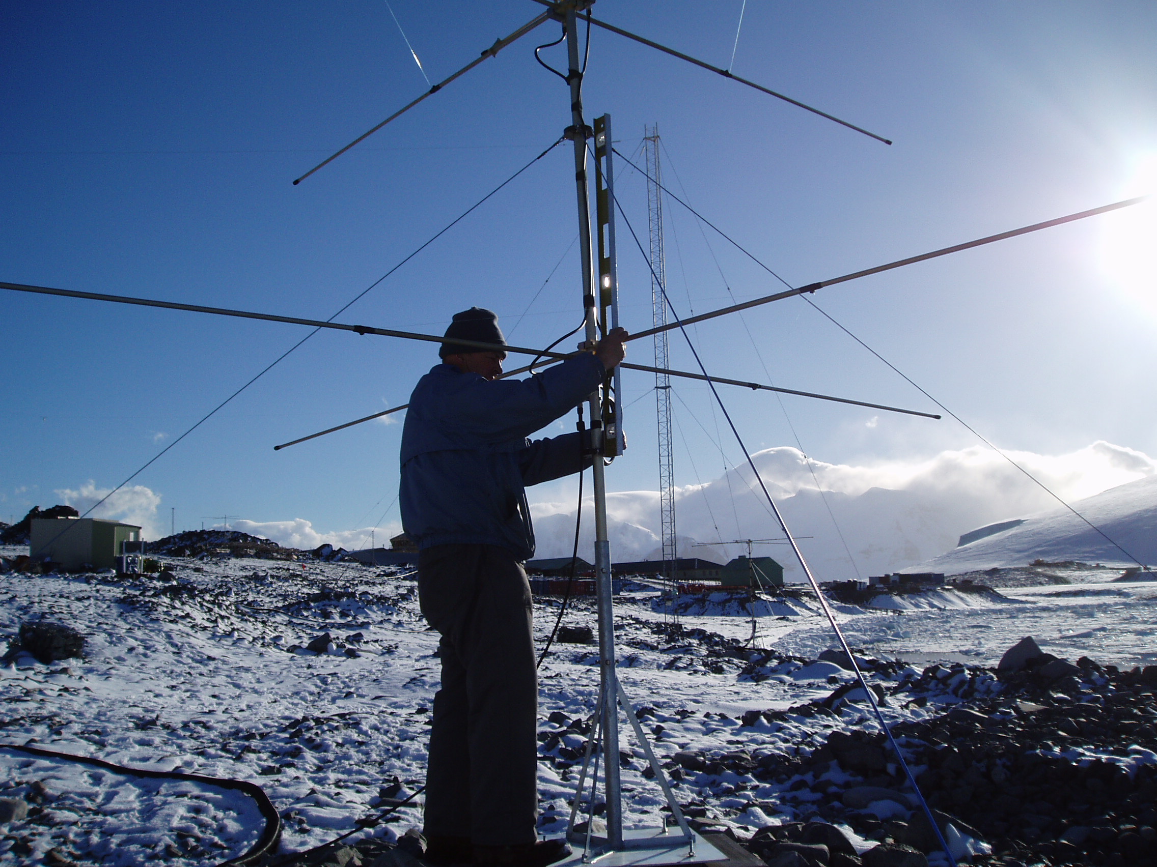
1. The
Arctic Esrange radar (68°N) was
deployed in August 1999. Apart from a single break of 12 days, it has
produced uninterrupted, continuous data. |
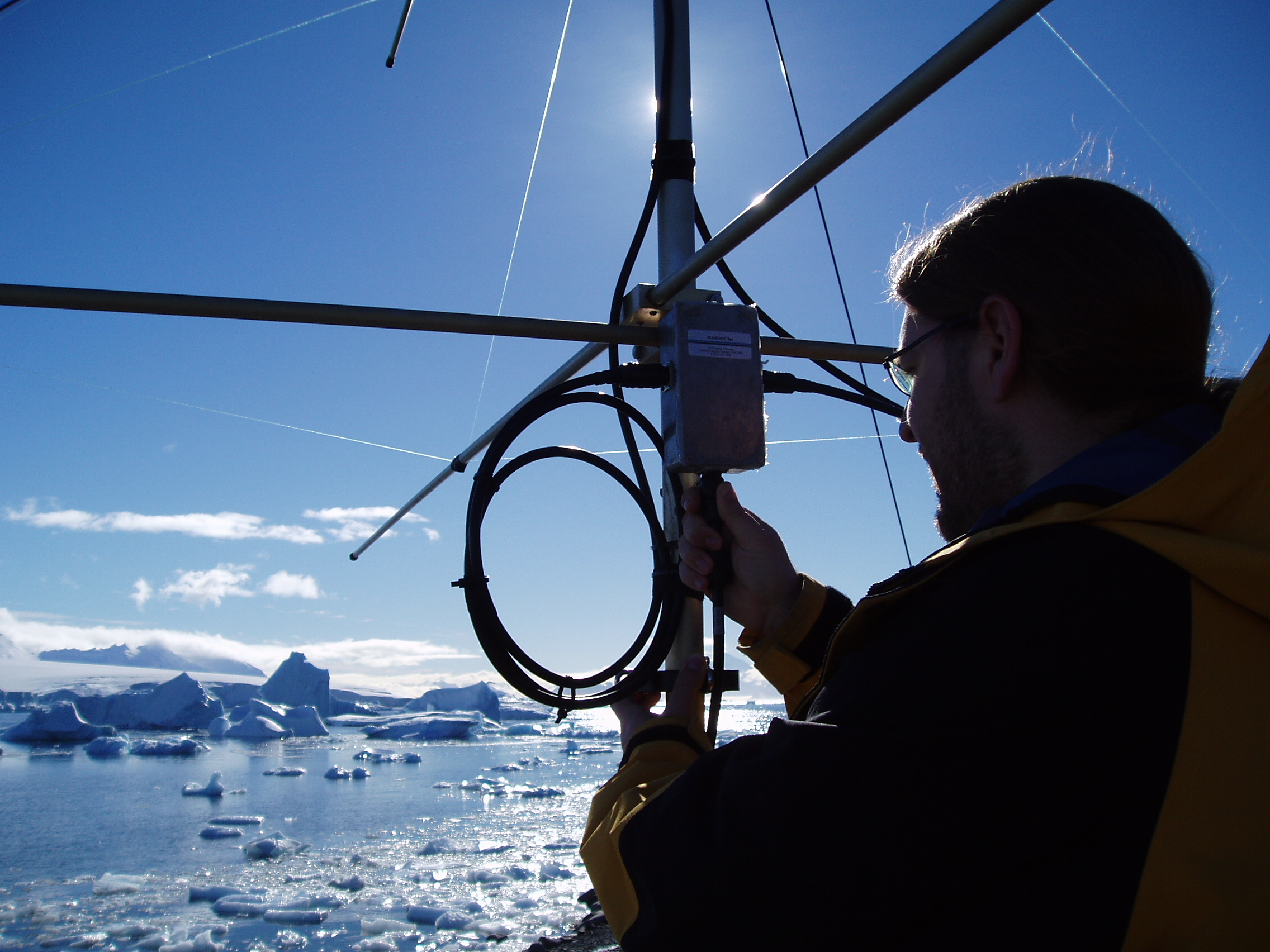
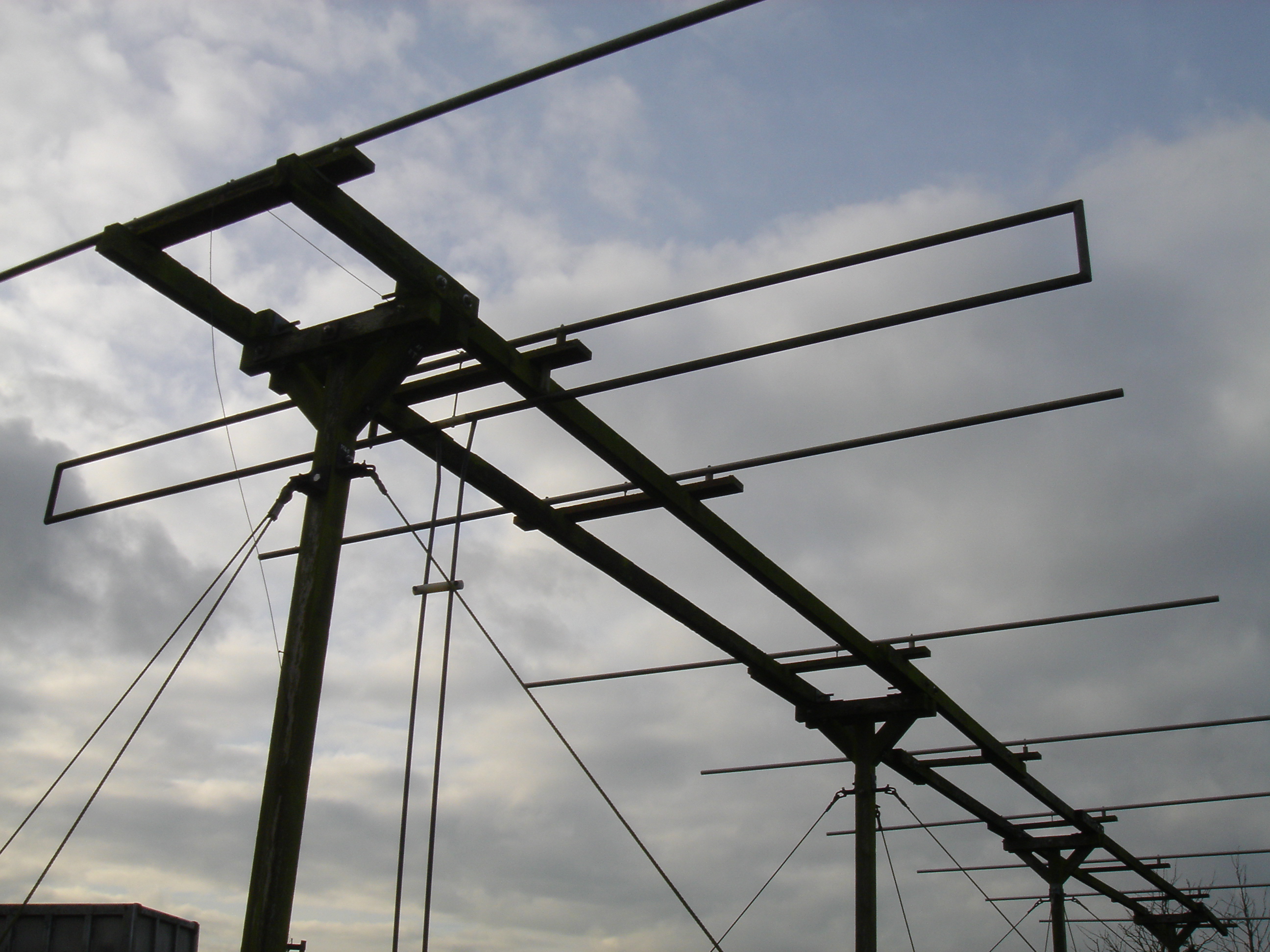
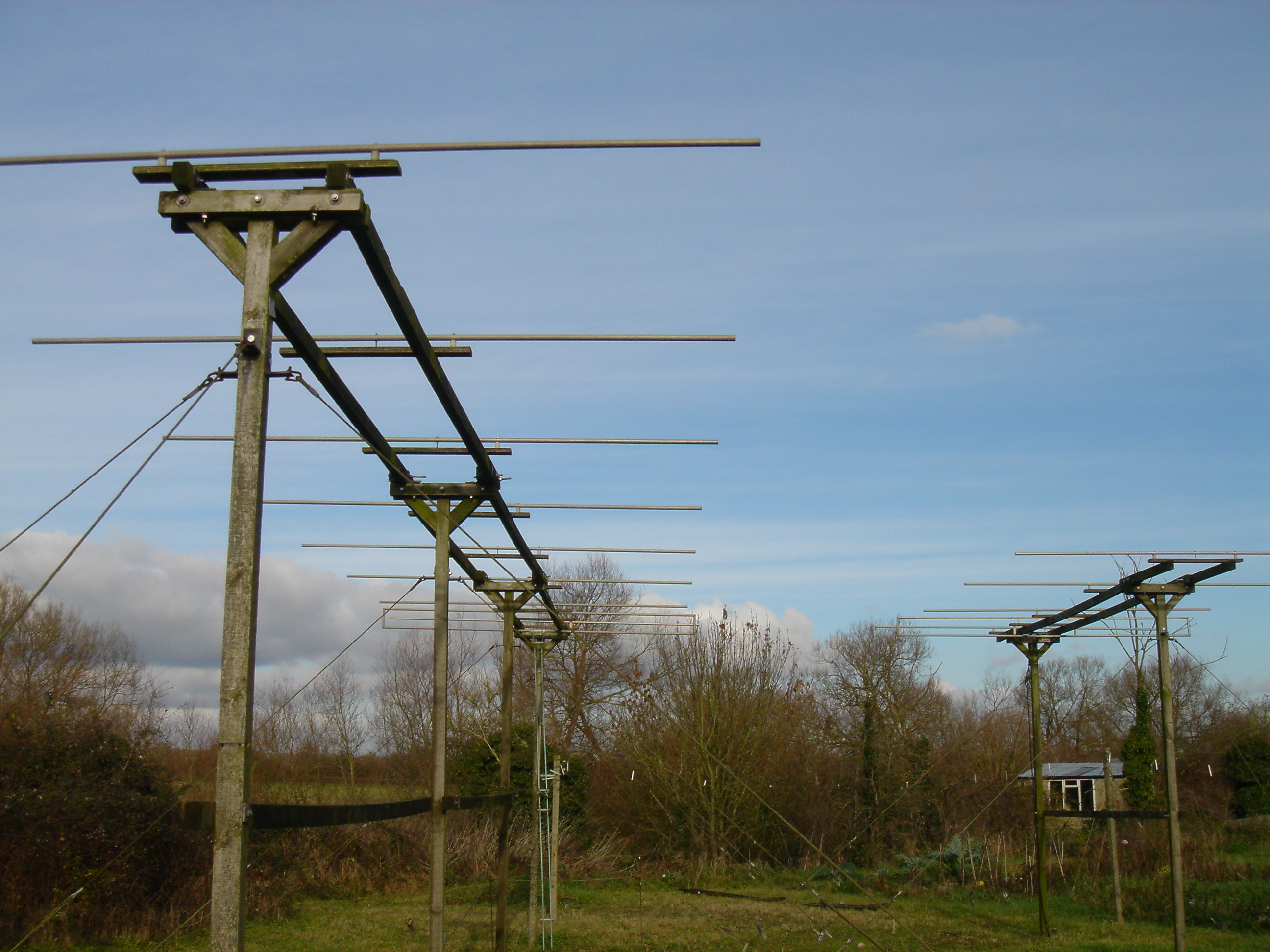
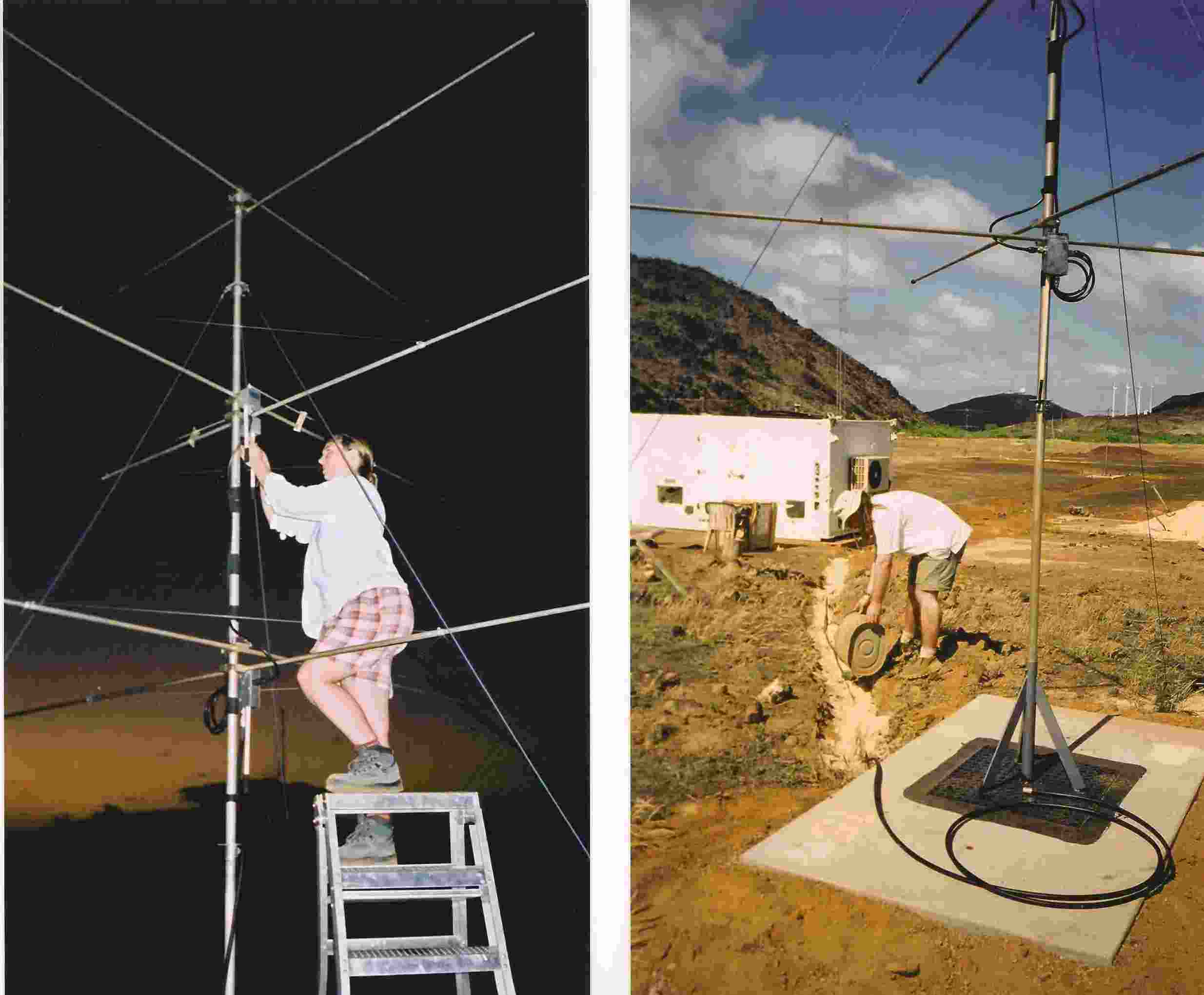
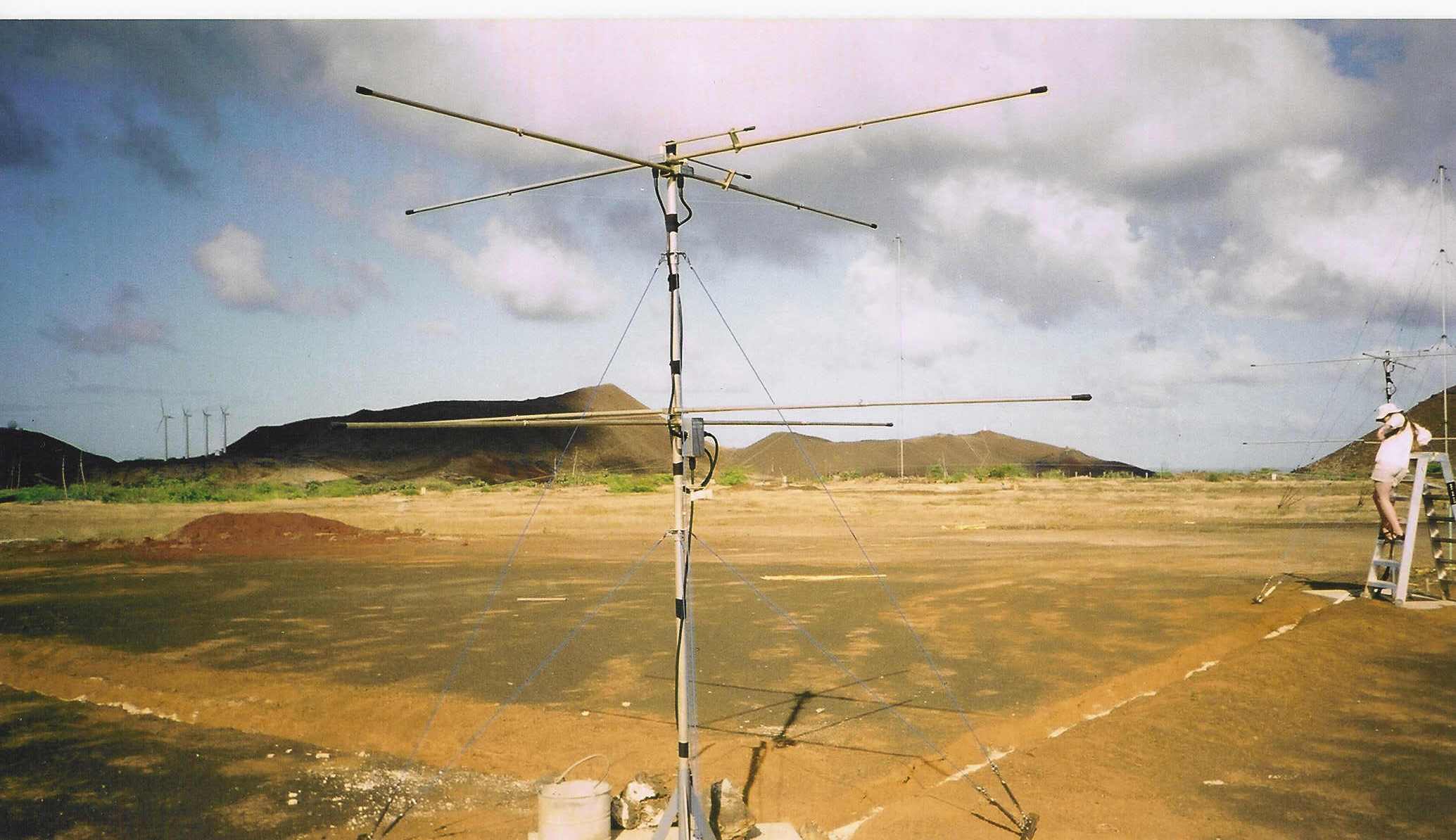
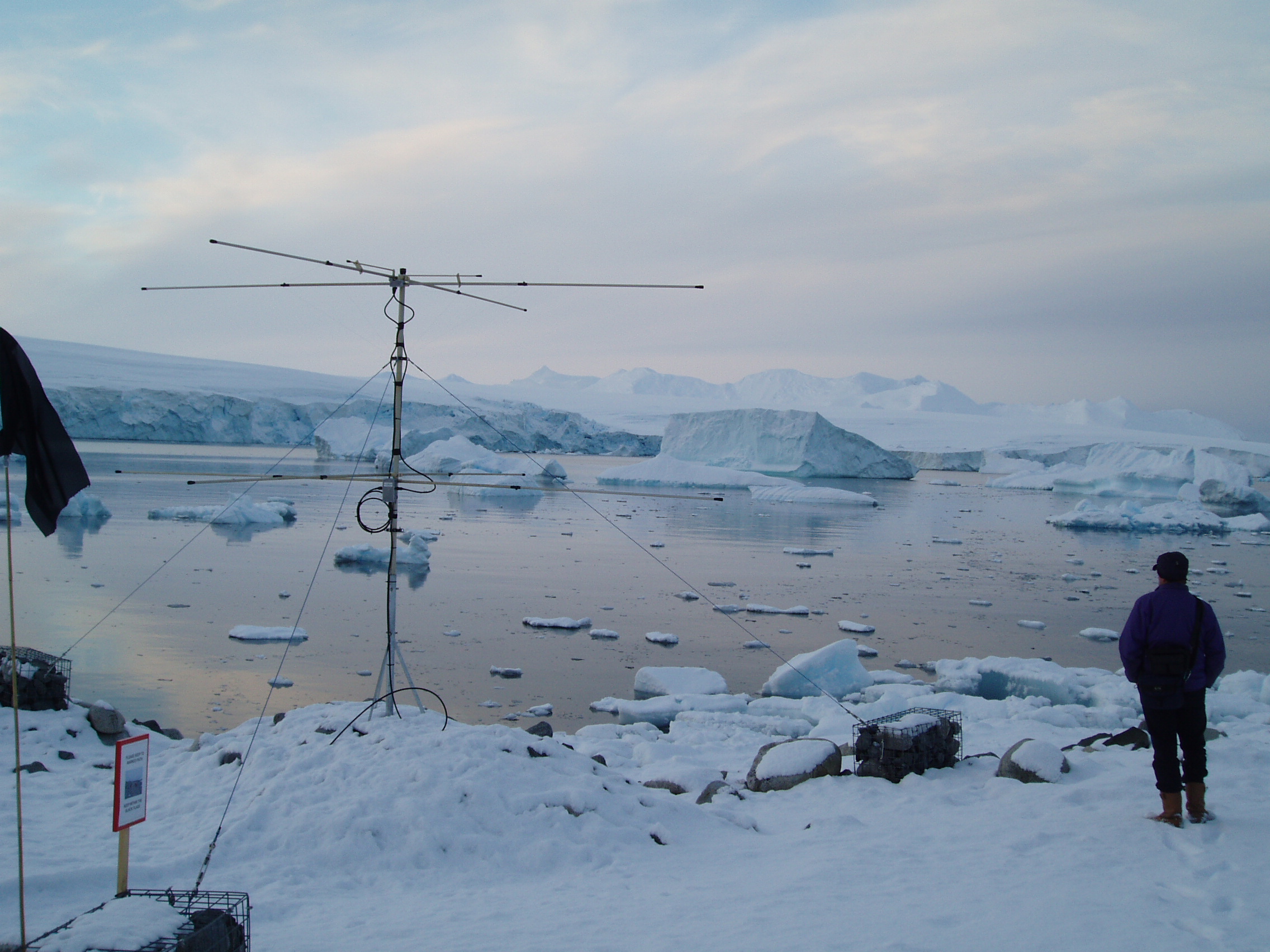
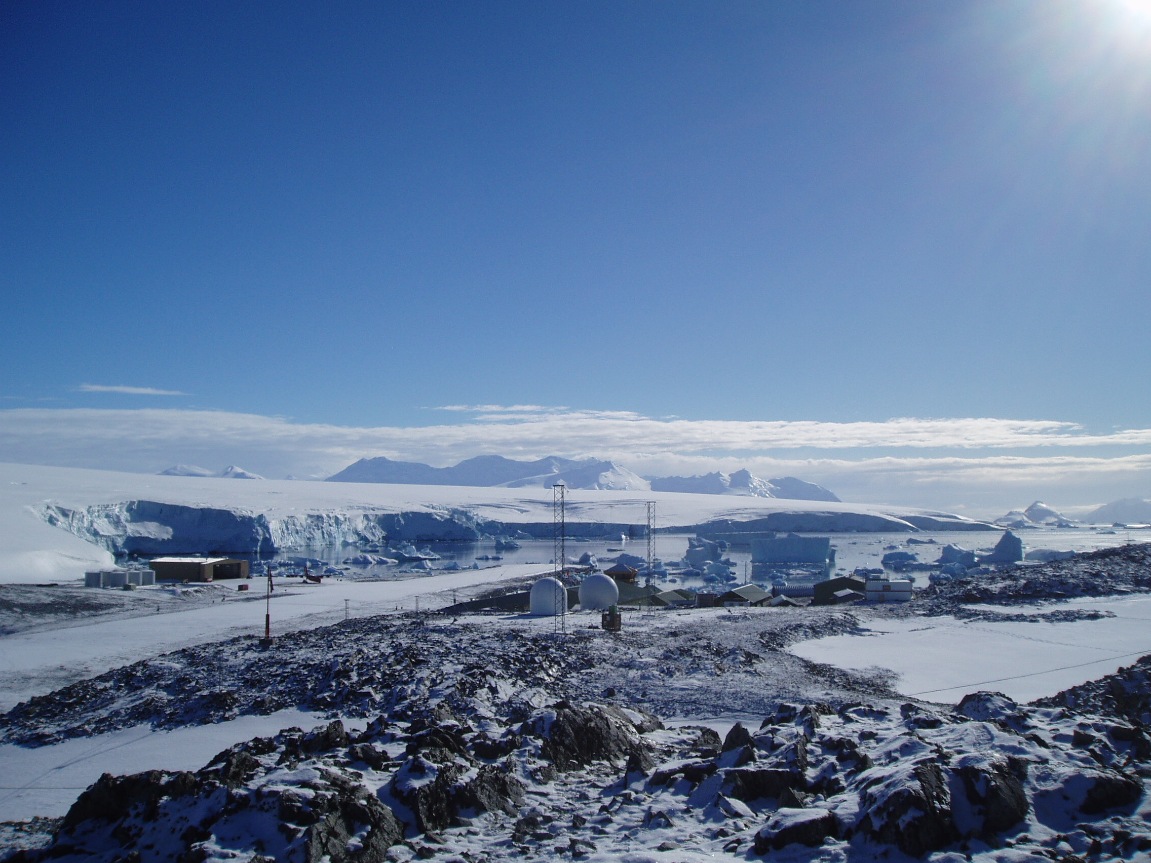
3. Images of the Radar Sites
|
|
|
|
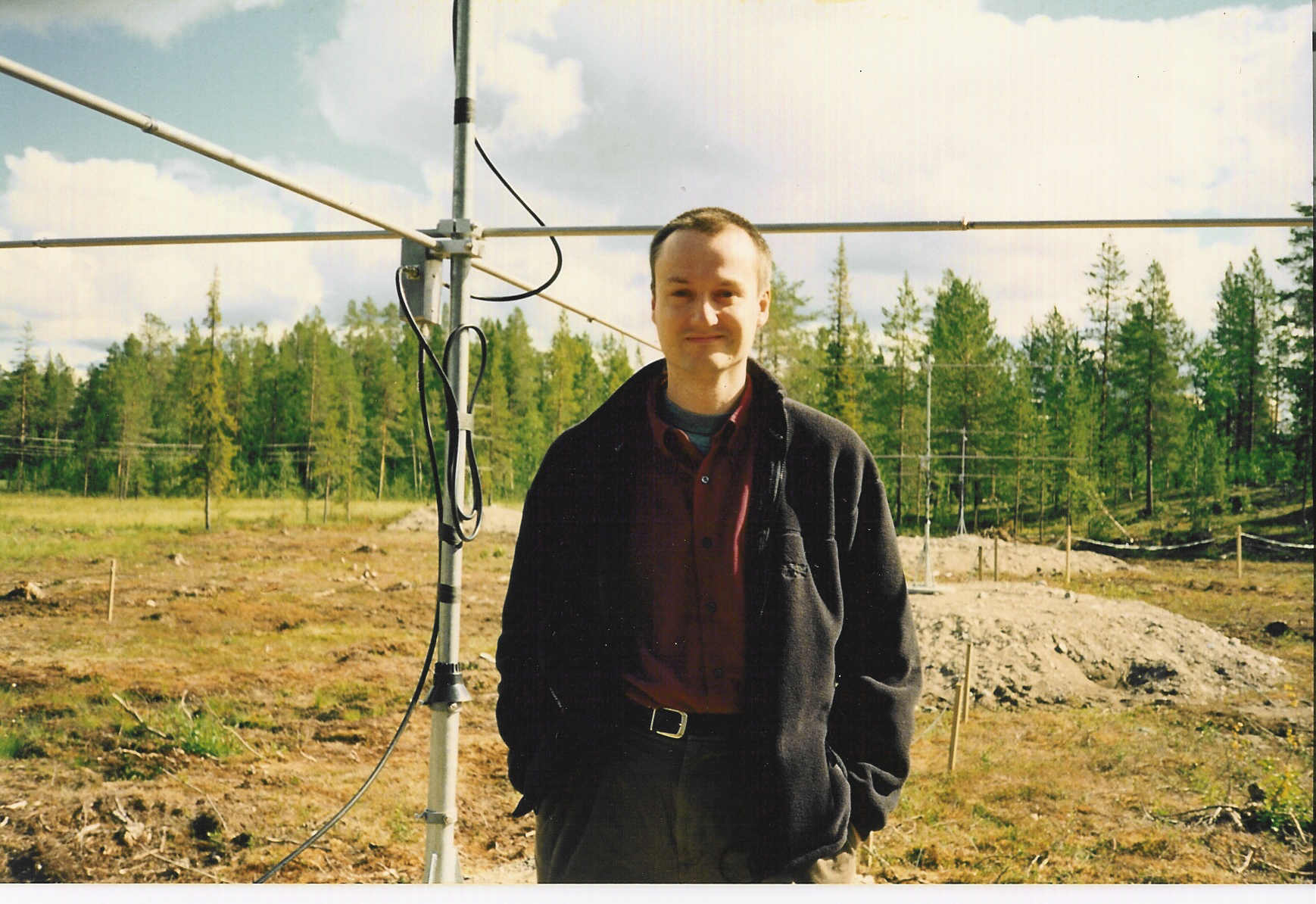
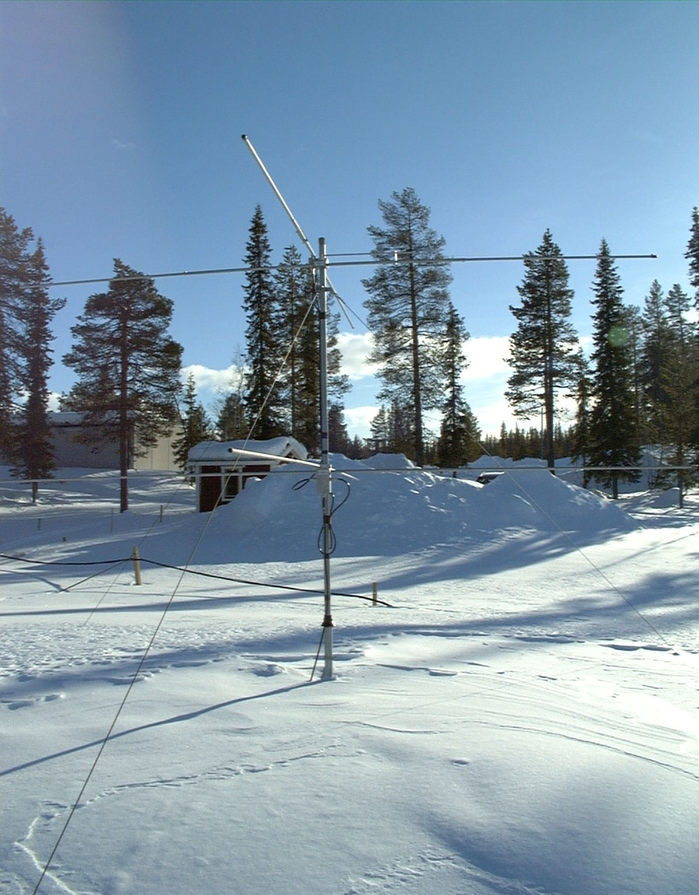
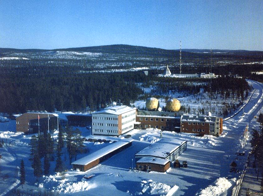
Images from Esrange,
|
|
|
|
|
|
|
|
|


|
|
|
|
|
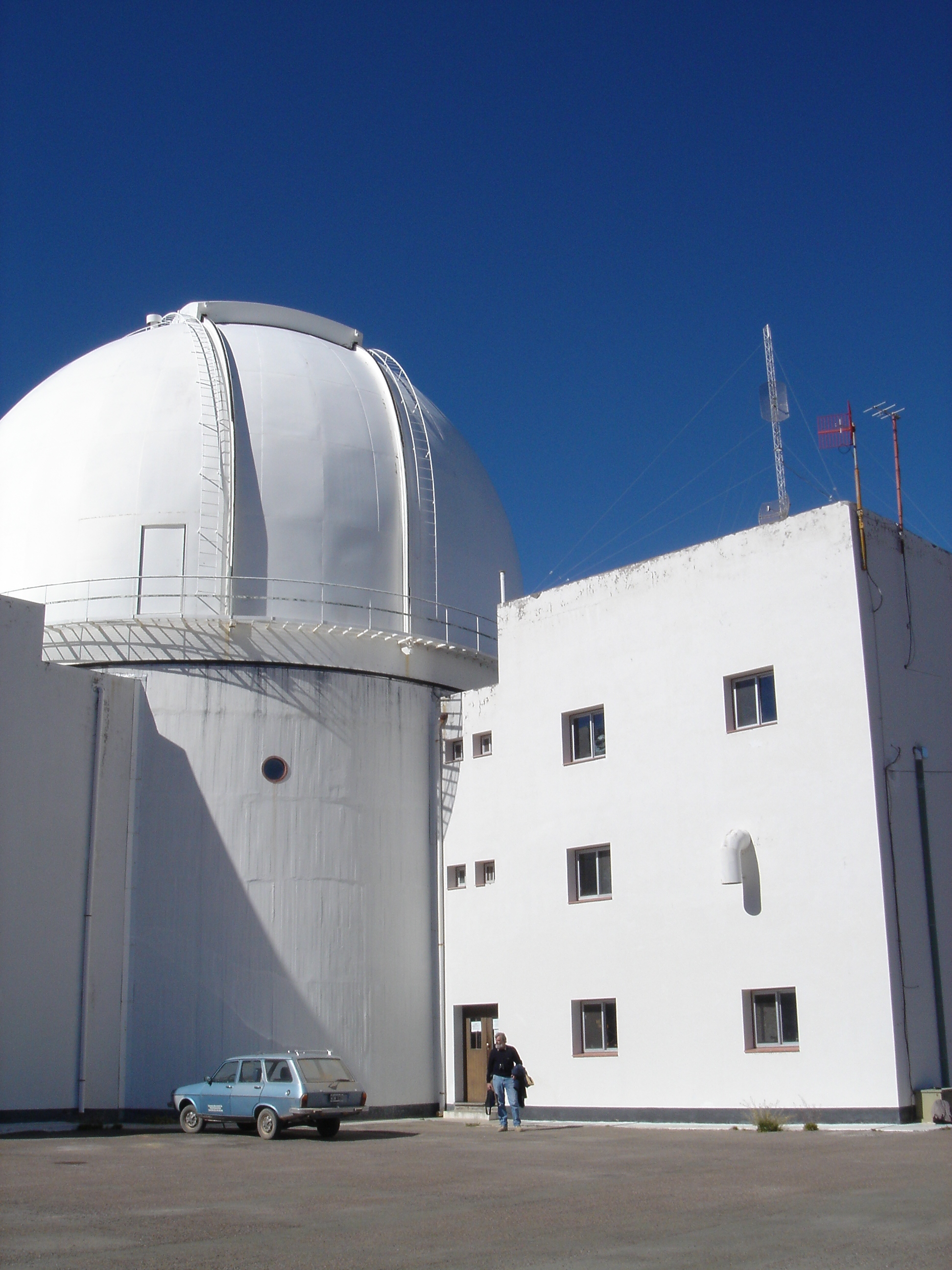

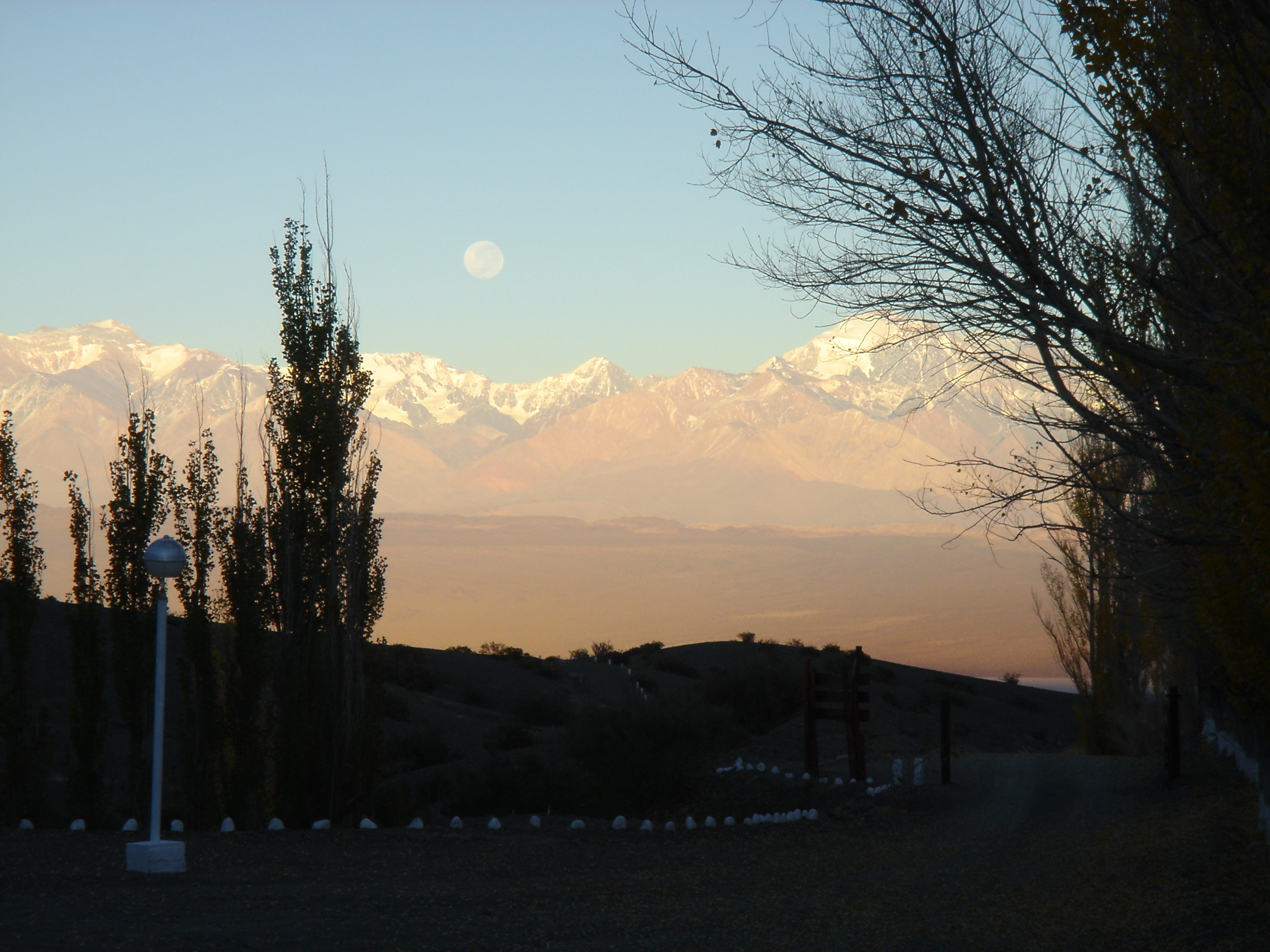

The CASLEO observatory, proposed site for the meteor radar in
|
|
|
|
|
|
|
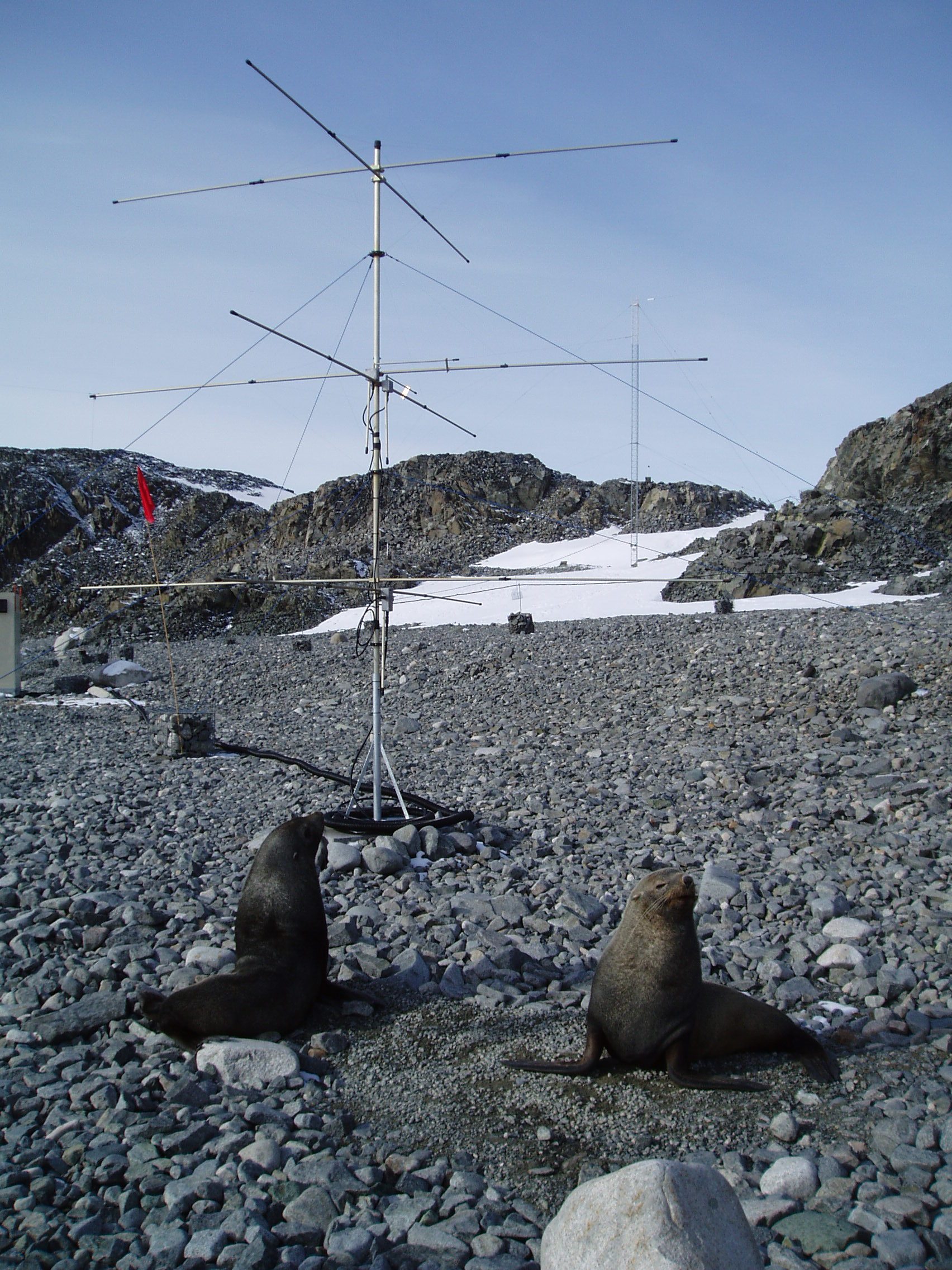

The
British Antarctic Survey – collaborators in the Antarctic Skiymet meteor radar
project
Genesis Software and Mardoc Inc – who together produce
the excellent Skiymet radars used by the group
Instituto de Astronomía y Física del Espacio (The
institute of Astronomy and Space Physics,
The
TIMED satellite – NASA’s Thermosphere Ionosphere
Mesosphere Energetics
& Dynamics satellite
TIMED
at CU – a site for
Esrange – the Swedish Space
Corporation’s rocket range and site of the Bath Arctic meteor radar
The
Institute for Meteorology at the University of Leipzig in Germany
– the home of Christoph
Jacobi, a
regular collaborator
ISAS – the
The Global Scale Wave Model – the NCAR
HAO linear model of migrating and non-migrating tides
PPARC
(the
NERC
(the
Ascension Island – Office of the Administrator
(includes a very good virtual tour. The
Ascension Island from space – an
extraordinary image
Miscellaneous Ascension Island links
N. J.
Mitchell
Department
of Electronic & Electrical Engineering
The
Fax: 00 44
(0) 1225 386305
Email: N.J.Mitchell@bath.ac.uk
